Transportation: Streetcars, Trains, Buses
1874
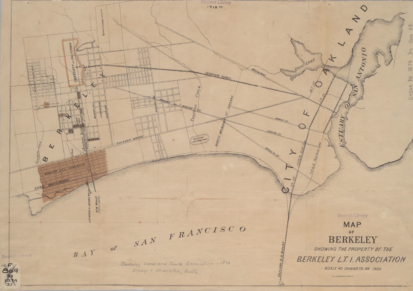
Berkeley L.T.I. (Land and Town Improvement) Association. "Map of Berkeley showing the property of the Berkeley L.T.I. Association." San Francisco: Toedter & Hoffmann, 1874. From the Bancroft Library's digital archives housed at the Online Archive of California.
Start at San Pablo Road and University Avenue. Note that there is already a rail line, "Berkeley and University Rail Road," with horse-drawn cars running west to east from the "New Wharf/Ferry Landing" — today's Berkeley pier — up University Avenue to Oxford Street (unnamed on this map), where it stops right on the edge of campus. This service started in July 1874. A steamship ferried passengers four times a day between Berkeley and San Francisco. The street just east or above San Pablo Road was Sacramento Street (unnamed on this map). North to south, the McGee Tract was between Addison Street (marked but unnamed) just south of University Avenue, and Dwight Way. East to west, the McGee Tract was between California Street (unmarked on this map) and Martin Luther King, Jr. Way (then Sherman Way), which is the next street marked but unnamed above Sacramento Street.