General History (for detailed chronology, see Historical Timeline below)
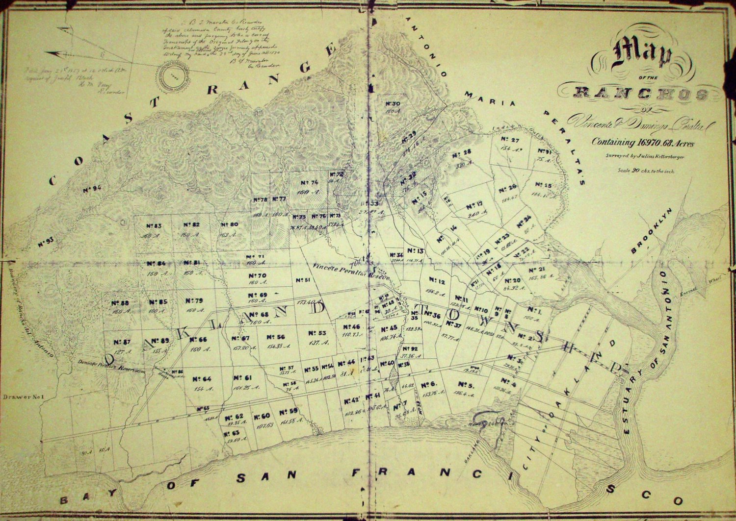
Kellersberger Map 1856
The 1856 Kellersberger map, the first survey
of Peralta Rancho San Antonio, divided the
rancho into parcels or tracts to clarify
boundaries as the Peraltas began their
defense of the ownership of the land with the
United States Government and as they
began to sell off their land — or squatters,
often failed miners and other Niner
opportunists, seized it.
